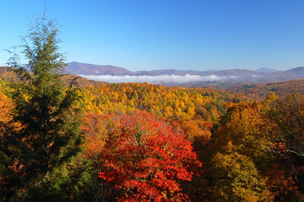
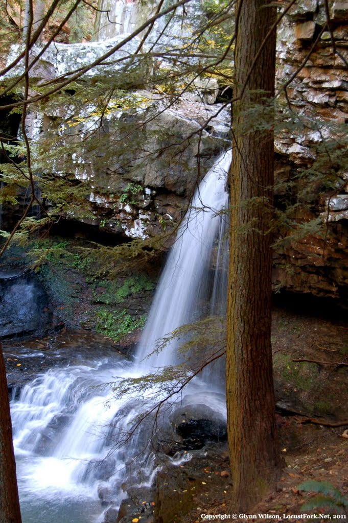
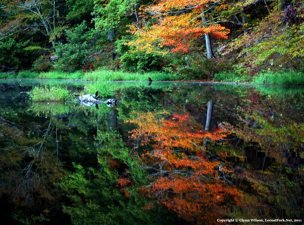
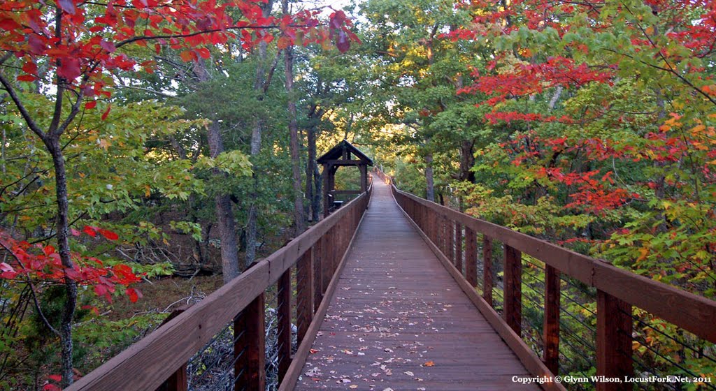
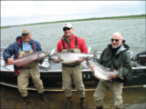
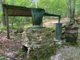
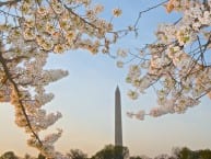
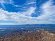
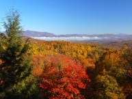
This is one of the first digital photographs I took in the early days of digital photography on a trip to photograph autumn color along the Blue Ridge Parkway in North Carolina. This was taken with a Nikon D70. I was visiting a cousin in Marion, North Carolina and caught the color line timing just right.
More autumn color photos from the early days of digital photography: Autumn Leaf Color Season Approaches
By Glynn Wilson –
The tech giant Google has discontinued the Panoramio program it launched a few years ago to con photographers into embedding images into Google maps to improve the map program with the promise that we would get credit for our photographs, traffic to our web sites and ad revenue from Google ads.
The stated justification? “…in order to invest our efforts into improving photo-sharing experiences directly inside Google Maps.”
The real justification? To steal the images of photographers for Google and rob web developers of traffic and revenue and put all the money into the pockets of the billionaire programmers who make all the money off of your searches.
I only recently found out about this after buying a new Mac Mini computer from Apple and re-signing into my Google mail, and checking my gmail account. Apparently the message had been marked as spam on my old computer so I never got the notification before.
I must have found about out the discontinuation of Panoramio before, because I had stopped using it and stopped giving my images away for free to Google. But I did not recall the notification. When I logged into the old Panoramio account, I decided to save down the images and republish them here with links to some of the original stories from my old Locust Fork News-Journal news website and blog.
If the search engines were honest and not such money grubbing capitalist pigs, we would get the traffic from these images and stories, not them.
At least our readers can enjoy them here and maybe share the link on a social media platform like Facebook. Of course Facebook no longer wants news on it’s platform and would really rather I just share all these photos on Facebook for free so they can own them in perpetuity and not pay a dime for this intellectual property.
Unfortunately, the American public does not understand the massive ripoff that is going on, a ripoff they feed and are partly responsible for by spending all their time on Facebook instead of clicking on our links and helping to promote independent web publishers like us.
Enjoy. Where possible, the original story links are included to explain where and when these photographs were taken.
Secret Vistas: The Waterfalls of Cloudland Canyon State Park
Talladega National Forest
We used to spend a fair amount of time visiting the Talladega National Forest in northeast Alabama, camping in the Chinnabee campground and the campgrounds at Cheaha State Park and photographing the area’s beauty. That is until we fought and stopped a plan to open up 43,000 acres there to fracking for methane gas and the U.S. Forest Service supervisor for the state tried to fine me for entering a closed area. We beat the rap in court, but I vowed never to go back and promote the area ever again.
You can go back and read all of our coverage of those stories here.
—
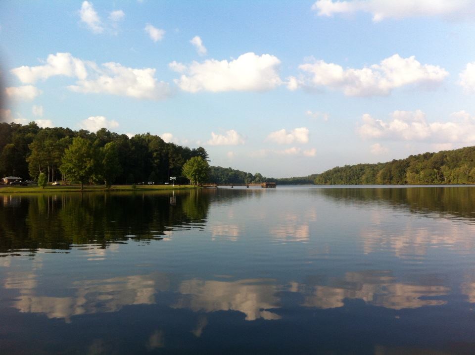
Lake Lurleen State Park lies just 9 miles northwest of Tuscaloosa and Northport, 14 miles from the University of Alabama campus. The scenic lakeside retreat covers 1,625 acres on a 250-acre lake. The campground is fairly nice, wooded and shady in places with large enough camp sites with open space and natural buffers between them. There is also a banquet room, a picnic area, play area, pavilions, a beach with a bathhouse, and a fishing pier. They even rent boats for the day:
See more: Secret Vistas: Waking Up on Lake Lurleen
—
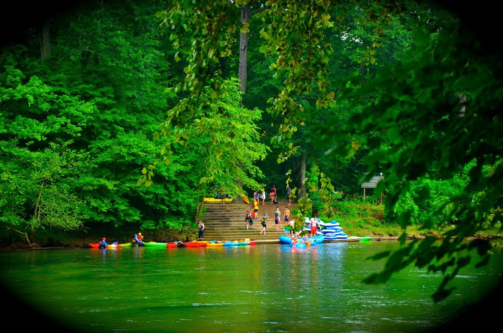
ATLANTA, Ga. — The Chattahoochee River National Recreation Area near Atlanta, Georgia attracts large crowds of hikers, joggers, bikers, kayakers and those from the big city who just want to float down the river in an inter tube or a rubber raft with a cooler of refreshing beverages.
See more: Chattahoochee River National Recreation Area Attracts Urban Crowds
—
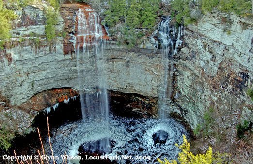
Fall Creek Falls, Tennessee
At 256 feet high, Fall Creek Falls is billed as the highest waterfall in the eastern United States. One year Southern Living magazine named the Fall Creek Falls State Park as the best state park in the Southeastern U.S.
On a 12-day camping trip to Tennessee in 2009, we camped there for a couple of nights and had a close encounter with the local wildlife when a raccoon and a fox took turns polishing off a bag of Lays sour cream and onion potato chips I left sitting on the picnic table when we went to try the fine restaurant out for dinner. I still use this story to this day to warn campers in national parks not to leave food out or feed the wildlife. Unfortunately, I did not have a video camera in those days, or was not producing videos for the web yet.
—
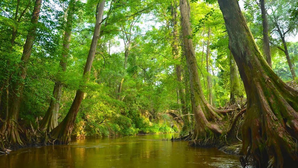
See more here: Autauga Creek: One of the Cleanest, Most Accessed Urban Streams in Alabama
—
Camping in the Birthplace of Conservation
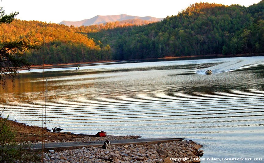
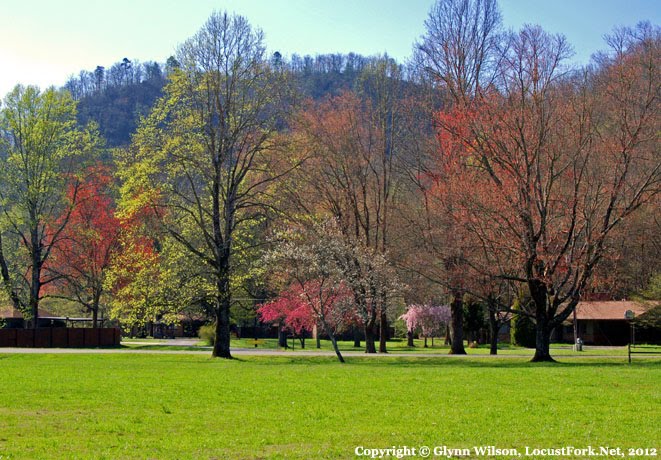
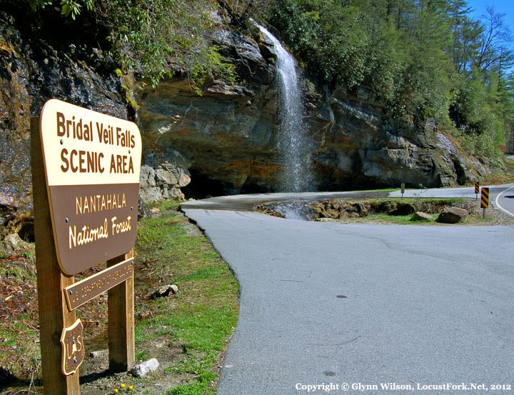
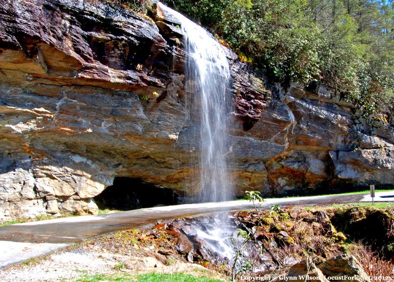
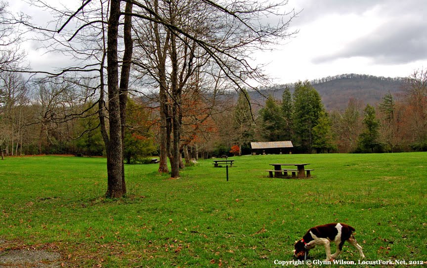
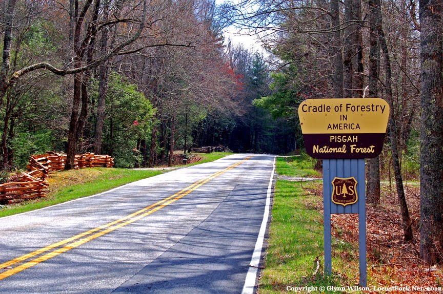
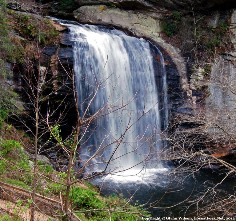
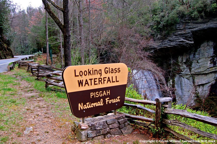
Back in 2012, I was nominated for an environmental journalism award by a non-profit group in North Carolina. I also adopted a rescued English Springer Spaniel and decided to take him along for the trip camping in Tennessee and North Carolina. Here are a few photos from that trip.
You can read all about it here: Van Camping Along Highway 64 in the Birthplace of Conservation.
Read about it here: Van Camping Along Highway 64 in the Birthplace of Conservation


